RAWIS protects rescuers during emergencies


Every minute counts when buried and seriously injured people have to be found and rescued in an emergency situation. Thanks to its continuous monitoring ability, RAWIS supports the rescue workers in these highly dangerous situations by providing timely and individual warnings prior to a potential debris collapse.
Emergency scenario
Fast action is necessary in the case of an emergency as human lives are often in danger. For this reason, the rescue workers could quickly find themselves in very dangerous situations arising from the complex and continuously changing conditions at the scene of the emergency. Damaged walls, sagging roofs and debris of all kinds could topple or slide and, in a worse case scenario, injure or even lead to the death of the rescuers. Moreover, the risk situation changes permanently during the search and debris removal operations as debris that is assumed to be stable can quickly become unstable and collapse.
RAWIS project
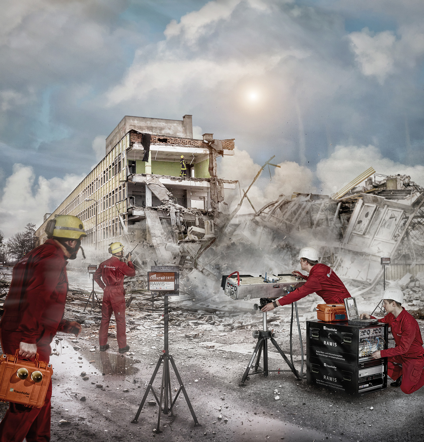
To protect the rescue workers engaged in disaster relief, an experimental system was researched and constructed within the framework of the RAWIS project (Radar Warning and Information System for Applications in Disaster Control) which was funded by the Federal Ministry of Education and Research. This system continuously monitors the scene of the emergency and assists the rescue workers in the assessment of the danger level through the provision of high-precision measurements and individual, personalized warnings.
RAWIS comprises four central components: the main 3D MIMO radar for three-dimensional monitoring of the entire scene, small battery-operated support radars for the precise monitoring of shaded debris, a radiolocation system which safely pinpoints the location of each individual member of the rescue team and can issue individual warnings and, last but not least, a control station where all information is gathered and graphically displayed.
Radar systems
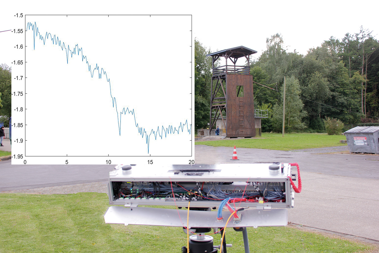
The main imaging radar is designed for a typical range starting at a couple of meters and extending up to several hundred meters. Test measurements taken at the training grounds of the THW in Handorf safely detected movements with a precision of 30 µm. The entire deployment area was monitored with a measurement rate of up to 1 kHz. Antennas in SIW technology, which were specially developed at Fraunhofer FHR, illuminate the entire deployment area and record all movements. Sophisticated signal processing methods guarantee that all irrelevant movements, e.g. caused by rescue vehicles, the rescue workers, search dogs and trees, are identified and filtered out. The MIMO principle, which uses a greatly reduced 2D MIMO array for three-dimensional monitoring of the deployment area, was applied to reduce weight, dimensions and costs. The MIMO array comprises individual transmit and receive modules so that it can be expanded as required to increase, for example, the spatial resolution for specific applications. The implemented compressive sensing methods guarantee the usability of the MIMO system even when individual antennas or modules fail during operations in harsh conditions.
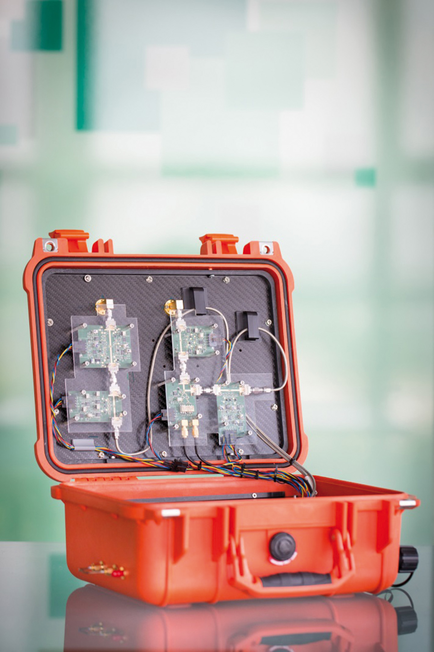
The support radars monitor debris movements in shaded areas that cannot be accessed by the main radar. The camera-sized sensors are brought to the scene by the helpers and directed towards potentially dangerous debris piles. In the event that movements or noticeable vibrations are detected within the detection range (approx. 30m), corresponding measured values are forwarded to the control station where the building surveyor on duty can assess the danger and, if necessary, evacuate the area. When the rescue workers have completed the necessary work in the deployment area, the sensors can then be moved to other shaded areas or to a location inside a building. One special feature of the support radars is high-precision range measurement through the utilization of battery-operated FMCW radar devices that enable reproducibility in the micrometer range. The state-of-the-art hardware combined with signal processing that is implemented in a sensor clearly demonstrates the potential of a miniaturized radar-based sensor system that can be used as a handheld device for high-precision metrology applications.
One special feature of radar sensors is that they can penetrate rain, fog, snow, dust and smoke. Added to this, they are suitable for day and night operations.
Joint project
The RAWIS consortium comprises eight partners: Fraunhofer FHR, the Federal Agency for Technical Relief (THW), the University of Siegen, the Ruhr University Bochum and indurad are funded partners. The Federal City of Bonn and the companies Elettronica and unival are associated partners.