Collision-free despite crowded airspace


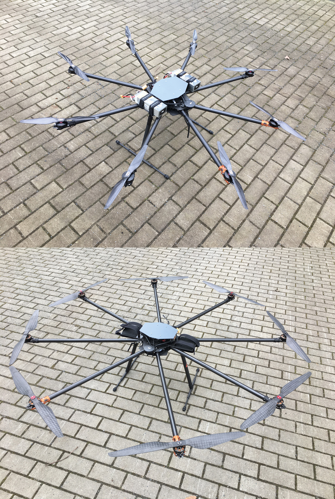
The airspace is filling up: drones are to support parcel couriers, air cabs are to relieve the roads. To prevent collisions, suitable airspace monitoring systems are needed. One is being developed in the »MIMO-Air Project«, in which Fraunhofer FHR is also participating.
There is always a lot of traffic on the roads – cities and communities are prepared for this. In the future, however, some of the traffic is likely to shift to the airspace: drones will deliver packages, air cabs will transport human passengers. While on the ground, fixed road layouts, right-of-way regulations and traffic lights prevent collisions, this is more difficult to implement in the air.
MIMO radar tracks and identifies drones and co.
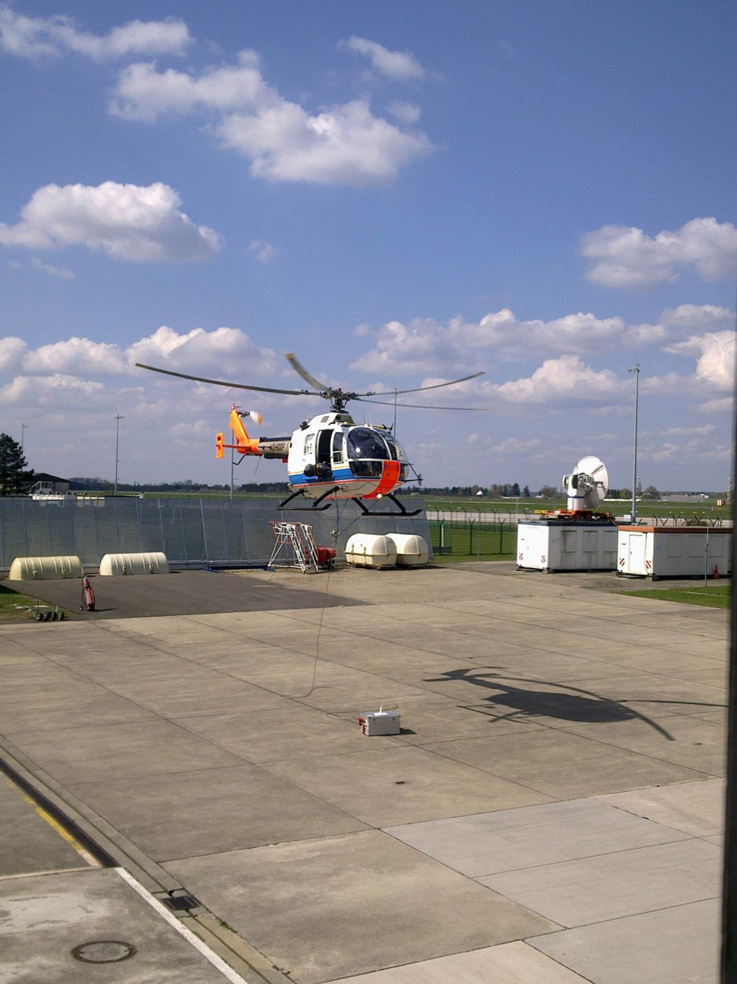
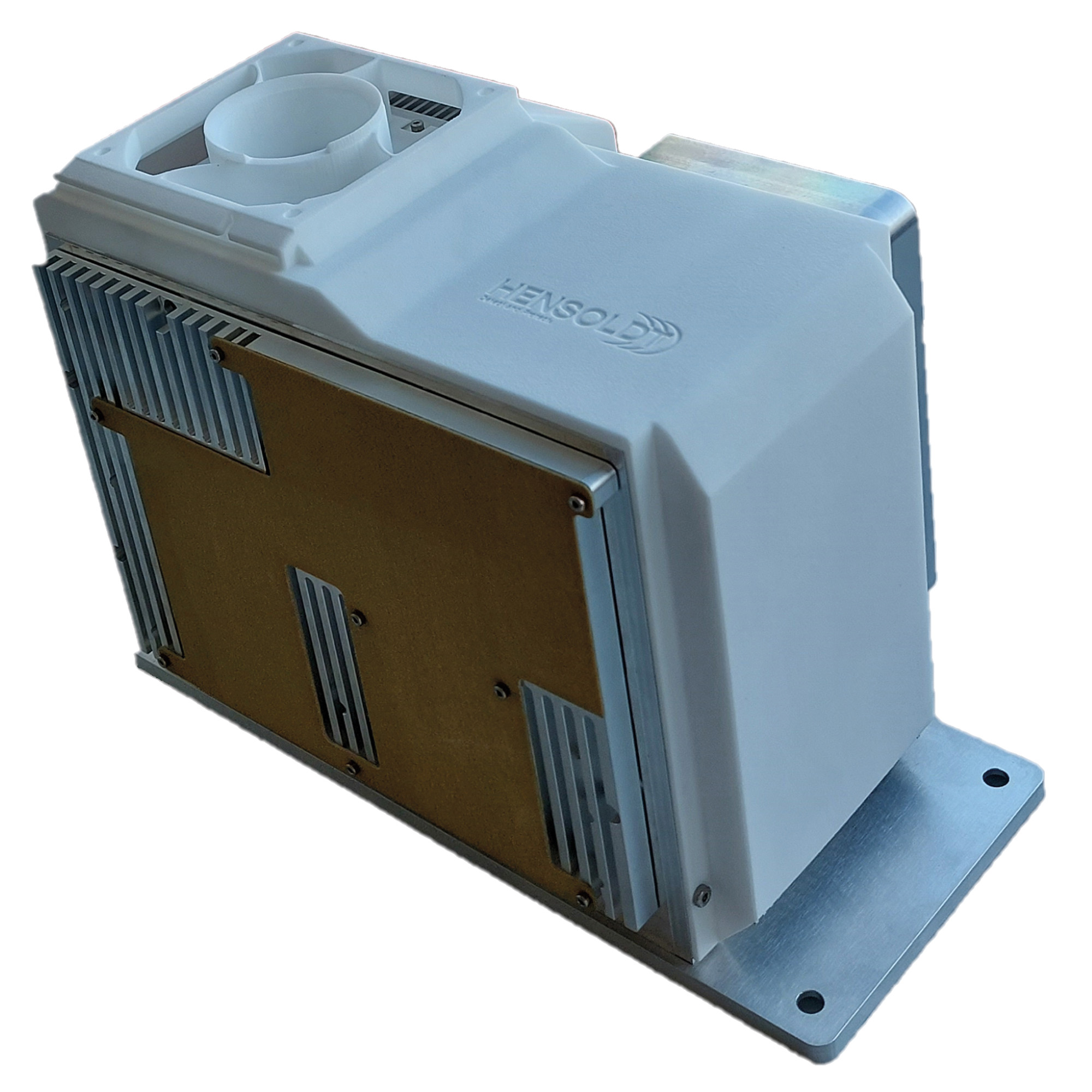
A team of researchers from numerous partners – including the German Aerospace Center DLR, HENSOLDT Sensors GmbH and Fraunhofer FHR – is investigating what aerial surveillance could look like in the »MIMO-Air Project«. The goal is to develop a MIMO radar for flying platforms that can be used to avoid obstacles and collisions. For the time being, the system will be mounted under a helicopter for evaluation. The data collected by the radar device is sent via 4G data link to the ground station – where the platform operator can not only keep an eye on the flight paths via radar, but also distinguish between the different types of drones. For this purpose, the data is intuitively processed in the form of a virtual reality application.
Tracking, cognitive data processing and classification
The Fraunhofer FHR researchers from the Cognitive Radar department are concerned with three things: first of all, tracking, i.e. they use the radar data to determine the flight paths of the drones. The focus is on the second area, cognitive data processing. This is used to optimally adjust the parameters of the MIMO radar during flight and to reduce the error rate in tracking the flying objects as much as possible – using software developed for this purpose. The third part of Fraunhofer FHR‘s work is classification: the team uses micro-Doppler to analyze what type of drone it is.
The subsystems developed by the various project partners – HENSOLDT Sensors GmbH is creating the radar system, DFS Deutsche Flugsicherung GmbH is supporting the project with its expertise, DLR-SE is responsible for developing the ground station, DLR-FL is taking care of the 4G-DATALINK, the flight routes of drones and airport logistics, Humatects is preparing the virtual reality application – are first brought together by simulation.
The entire system will then be tested in close cooperation with DLR‘s Institute of Flight Guidance. Initially, ground tests are planned for October 2023 at the national testing center for unmanned aerial systems in Cochstedt. In April 2024, the system will be flight-tested in a final step, also in Cochstedt. DLR‘s Bo 105 helicopter will be used for this purpose.