300-GHz SAR measurements of streets and facades


The 300-GHz MIRANDA radar system, which was developed by Fraunhofer FHR, boasts the world's highest resolution of 3.5 mm and can provide images of streets and facades in almost optical quality.
The MIRANDA 300 system was developed to demonstrate the efficiency and capabilities of modern imaging radar systems. This large resolution results from the high bandwidth of the system. This is attributable to the system's extremely high working frequencies in the presence of which a low relative bandwidth leads to a high absolute bandwidth. In this way, range resolutions of up to 3 mm can be achieved. In the case of an imaging system where the radar has to be moved across radar's the line of vision, the size of the antenna aperture is also a decisive criterion from a resolution perspective. Given the high transmit frequency of 300 GHz and the smaller wavelength of approx. 1 mm, a very small antenna can be selected with the result that high resolutions can also be achieved in this image direction. This also has the advantage that the overall system is extremely small and very easy to handle.
When taking SAR measurements, the system is installed in a vehicle which drives past the scene of the measurement in a few meters distance. Compared with an aircraft, this configuration has the advantage that deviations from an exact linear movement can take place in a more controlled manner and the vehicle can be moved at a slower pace. Nevertheless, the high-precision GPS-based inertial system, which records the proper motion of the sensor, is a vital component of the measurement system. In the subsequent signal processing phase, this data is used to correct the radar data as if the carrier platform had driven completely linear without deviations. This facilitates the creation of high-resolution and contrast-rich recordings with a low transmit power of approx. 3 mW.
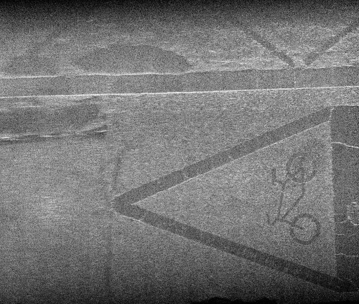
The measurement can be used to produce high-resolution images of a street or the objects located on the street. Even thin layers, such as the street markings, can be clearly identified. A corresponding SAR image is shown above. The image shows a section of the street with thin paint markings. The clear cracks in the markings reveal that they are already quite old. The same approach can be adopted to reveal cracks and inadequate repairs in different sections of the street and the street surface.
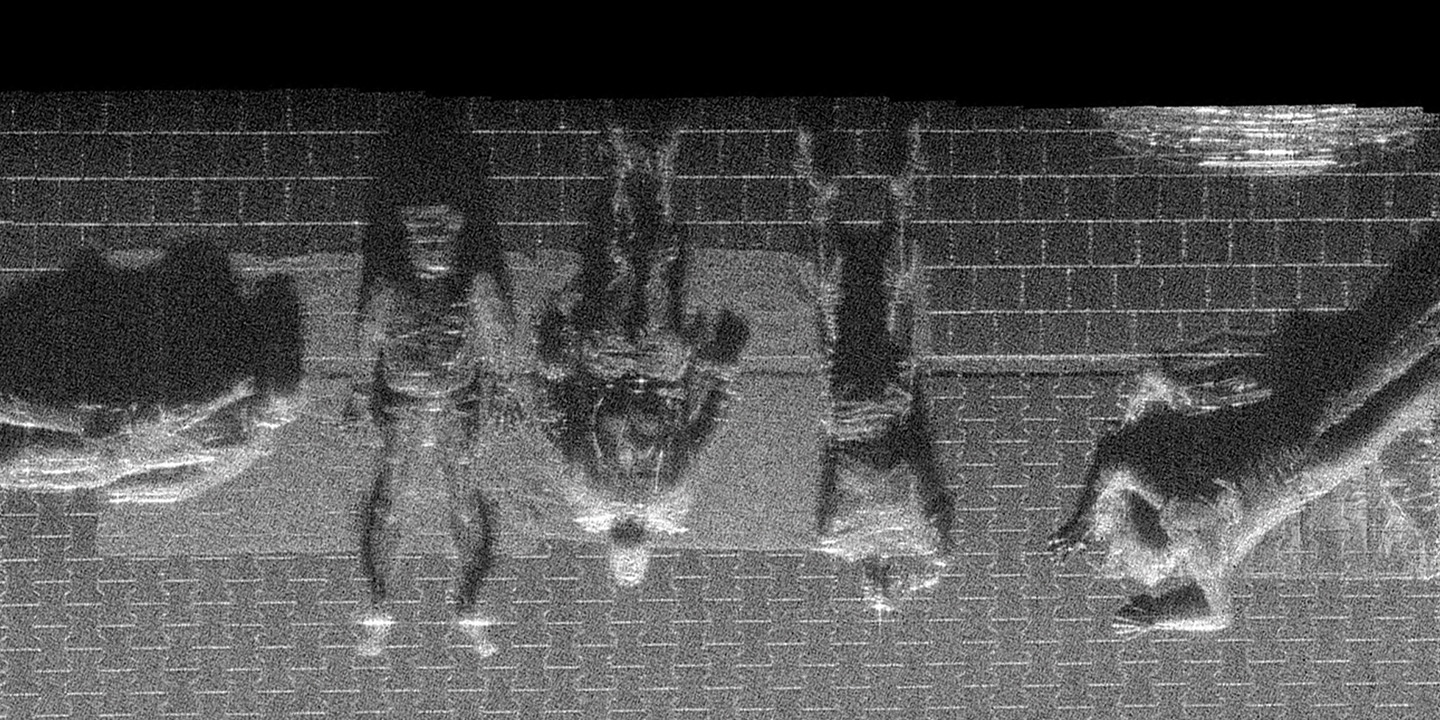
The measurement arrangement described above also produced an image of persons lying on a stripe beside the measurement vehicle. The image was created with a measurement time of just a few seconds. 300-GHz SAR images with this resolution are capable of clearly depicting not only individual persons but also, for example, belt buckles.
If the measurement geometry is inverted so that the sensor faces upwards instead of downwards, objects that are passed by the measurement vehicle can also be depicted. In this way, the facades of buildings can be depicted in high resolution and subsequently examined. The special characteristics of millimeter waves, which react in an extremely sensitive manner to the smallest structural changes and are also capable of penetrating thin, non-metallic layers, are helpful in this respect. Under certain circumstances, conclusions relating to the underlying structures can also be drawn. Image 3, for example, clearly shows the structures of the walls and different materials can be identified.
